
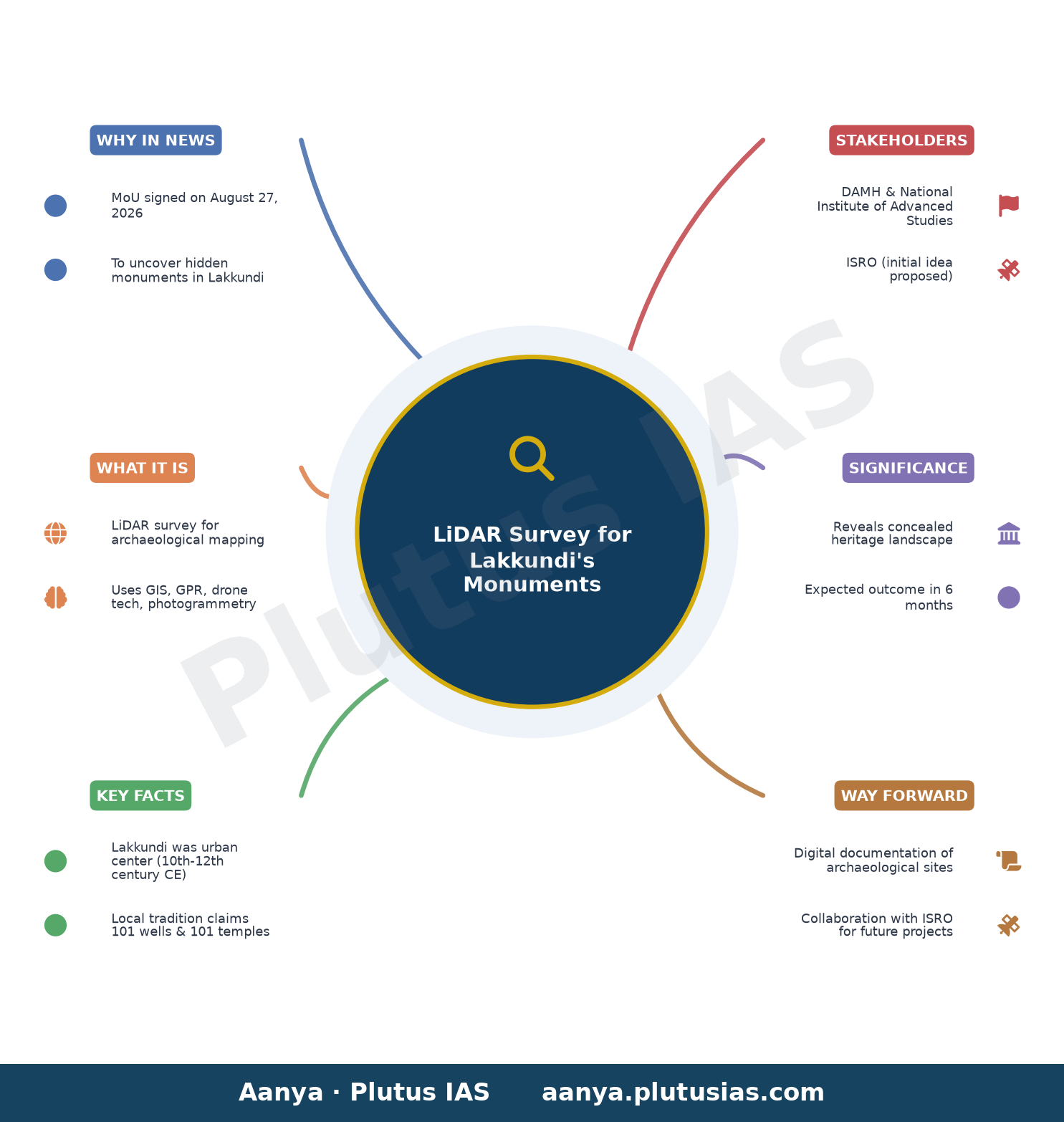
✎ LiDAR survey in Lakkundi aims to uncover hidden monuments using advanced digital technologies for precise heritage mapping.
Relevance for Banking, SSC & RBI Grade B exams: Economy/Governance
The Department of Archaeology, Museums, and Heritage (DAMH) has partnered with the National Institute of Advanced Studies (NIAS), Bengaluru, to conduct a LiDAR survey in Lakkundi, Gadag district, Karnataka, aiming to uncover hidden monuments obscured by vegetation and time. Using advanced technologies like LiDAR, GIS mapping, remote sensing, and ground-penetrating radar (GPR), the six-month project seeks to map and document archaeological sites more precisely, potentially revealing structures from the Kalyana-Chalukya period (10th–12th centuries CE). This initiative aligns with the state government’s efforts to prepare a Detailed Project Report (DPR) for Lakkundi’s inclusion in UNESCO’s tentative World Heritage Sites list, highlighting its significance in India’s architectural history, particularly its hybrid Vesara style temples. The collaboration, formalized through an MoU signed on August 27, 2026, follows discussions with ISRO and aims to revolutionize heritage conservation by reducing reliance on conventional, large-scale surveys.
For banking and government exam aspirants, this development underscores the intersection of technology and governance in heritage management, a topic relevant to the Economy/Infrastructure sections of exams like RBI Grade B and SSC CGL. The use of LiDAR and GIS for archaeological surveys reflects India’s push toward digital transformation in public administration, a theme often tested in competitive exams. Additionally, the project’s focus on sustainable development and conservation ties into broader government initiatives like the National Mission on Cultural Heritage, making it a pertinent case study for aspirants preparing for descriptive papers or interviews in these exams.
Source: The Hindu
Generated by AanyaAi for educational purpose.
